UPDATE (April 18): Rebuild Oahu event (recovery resources for North Shore residents affected by the floods)
UPDATE (April 11): Flash flood warning lifted for Oahu. Next round of heavy rain could happen on Sunday but most of the state will be under a flood watch for Saturday due to the chance of popup rains occurring locally.
UPDATE (April 9): State and city closures for Friday, April 10th ahead of what will be the heaviest wind and rains. Kilauea episode 44 also began at 11:10am HST where earlier, fountaining reached as high as 240 meters (800 feet) and softball sized tephra bombs were falling in the area (the park service closed off the closers observation areas). Due to the southerly winds, the areas north of the caldera are downwind of the tephra (which further away, are smaller cinders, ash like particles, and Pele’s Hair).
UPDATE (April 8): The heaviest rains statewide looks to be on Friday.
UPDATE (April 7): Emergency shelters activated on Oahu and the Hawai’i National Guard has 200 soldiers ready. Doppler radar shows a lot of moisture over Oahu as of 3PM HST (it was pouring in some spots while I was out on the road earlier which means the ground will be saturated when the heaviest parts of the storm are supposed to hit on the 8th and 9th). That same band of moisture was over Kauai in the morning.
UPDATE (April 6): Flood watch from April 8th (morning) through 10th (afternoon) HST with the bulk of the impacts on the 9th and 10th
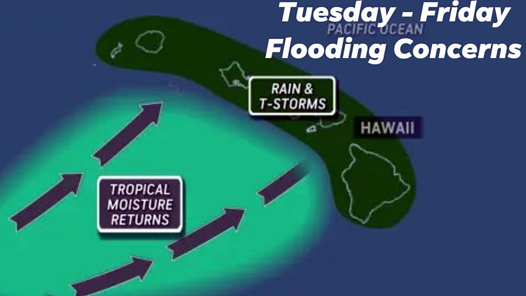
Computer forecasting models show another potential round of rainy Kona low weather that could be affecting the state of Hawai’i this week beginning on the 7th HST. This would be on top of the last two Kona low storms which drenched the islands 2-3 weeks ago (causing major flooding in several areas).
While parts of the state have been drying out since, there are still other areas where the ground remains saturated. Additionally, the areas that have been hardest hit are only just beginning to clean up from the March 20th flooding.
Both the city and state have been urgently trying to clear streams of existing debris for several weeks now (more so once the initial alerts about potential impacts was announced last week).
On the Big Island, Kilauea episode 44 (lava fountaining eruption) is expected to resume (either Monday or Tuesday). Forecasters are hoping the eruption happens before the winds from this Kona system turn southerly since that would bring tephra, sulphuric fumes/vog, and pele’s hair falling over more populated areas north of Kilauea including Hilo.
I probably will not be streaming that episode once it begins since I’ve been involved with volunteer efforts (again, mainly the Hawai’i Food Bank) and some ongoing personal stuff. Besides this blog, I’m barely online and this will likely be the case for a bit. Hopefully this next system isn’t bad.