 |
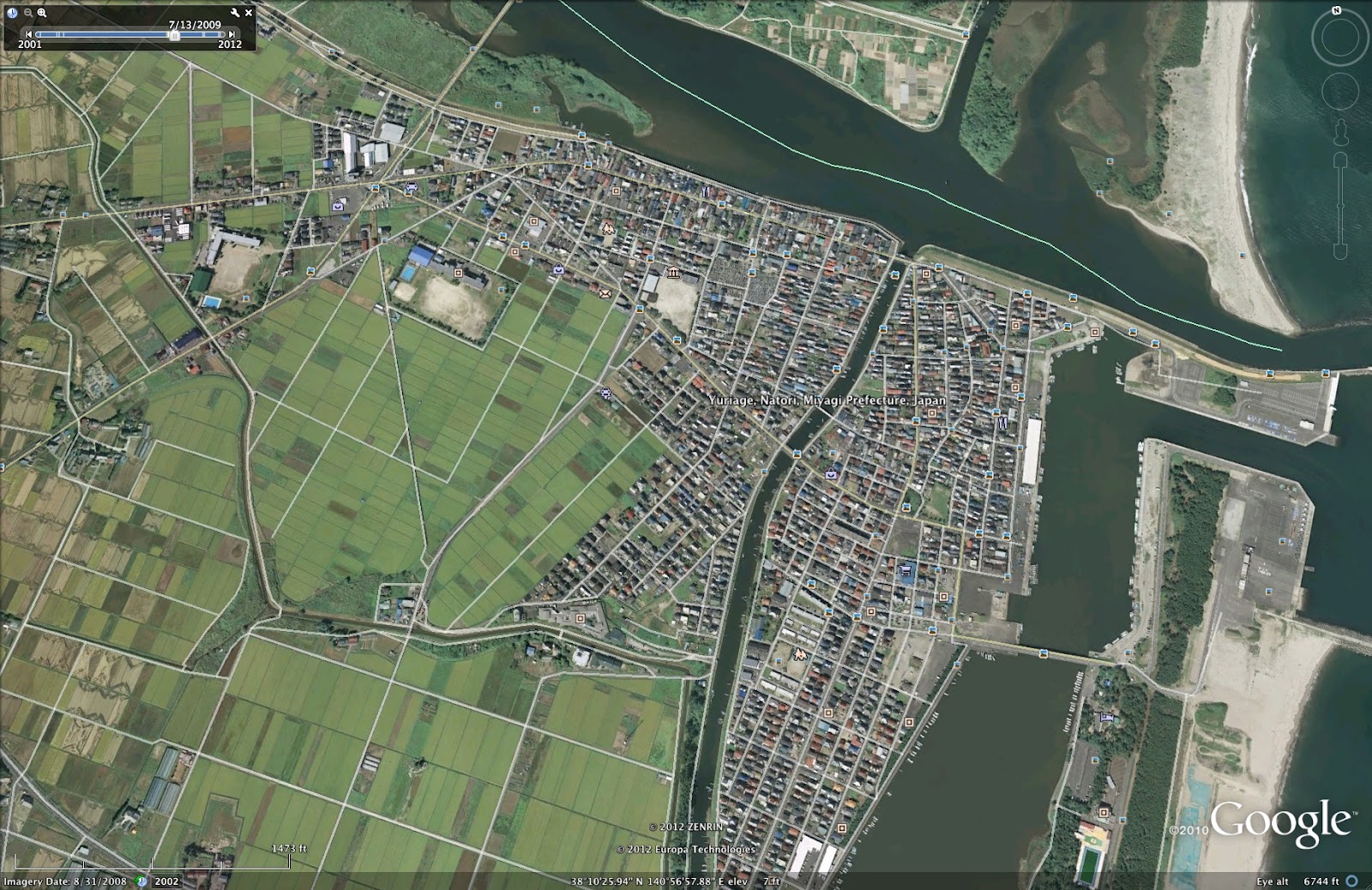
| Yuriage in 2009 |
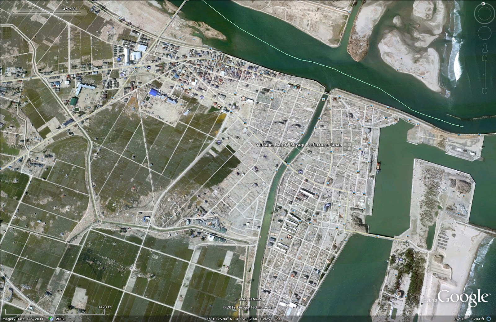 |
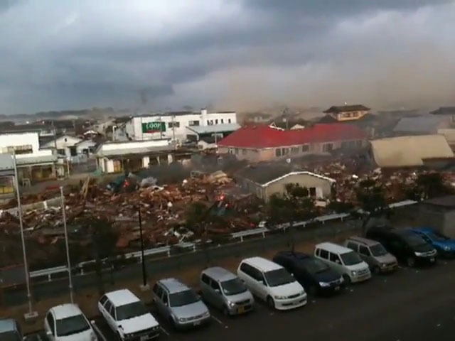
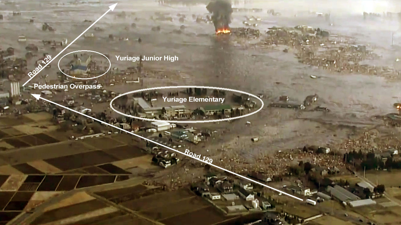
| Yuriage in 2011 |
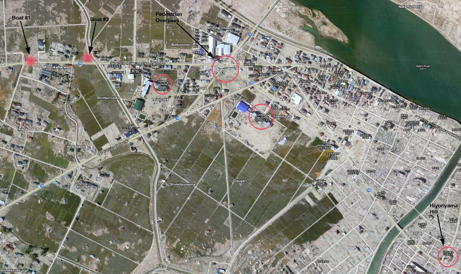
The following is a small portion of that broadcast with some annotations to provide a point of reference to some of the images taken one year after the disaster (further below).
The following are some photos taken along Road 129 one year after.
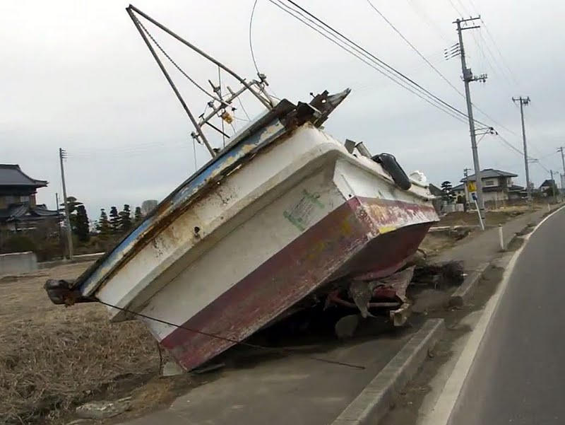 |
| Boat (presumably the ones that haven’t been removed is because the owner died) |
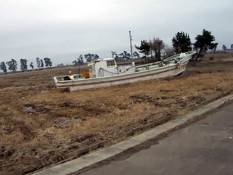 |
| Another boat (you may have seen this one being pushed along by the tsunami in the HD broadcasts) |
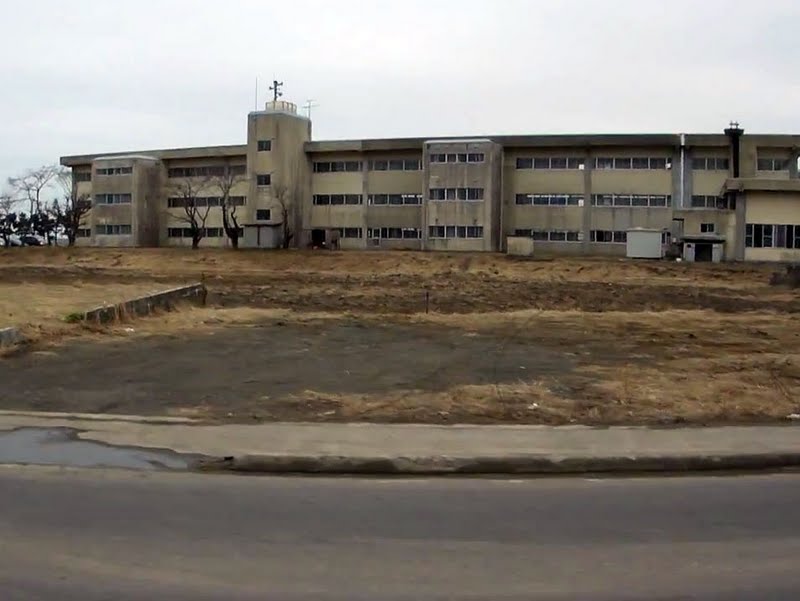 |
| Yuriage Elementary School |
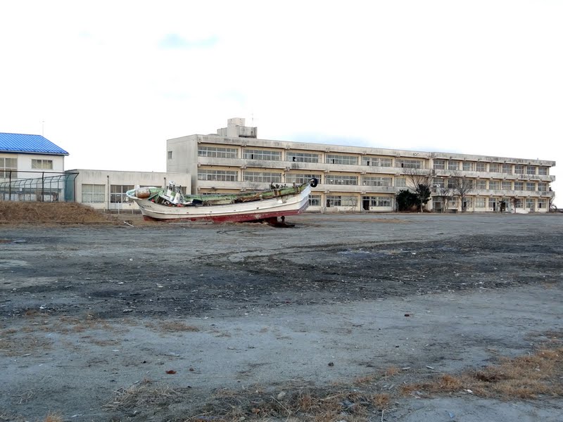 |
| Yuriage Elementary School (opposite side) |
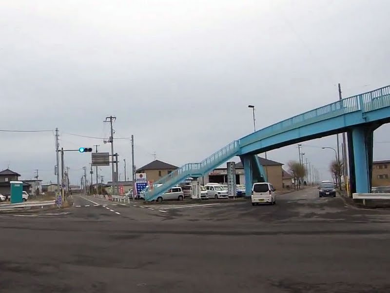 |
| Pedestrian Overpass (this is where some were able to flee to) |
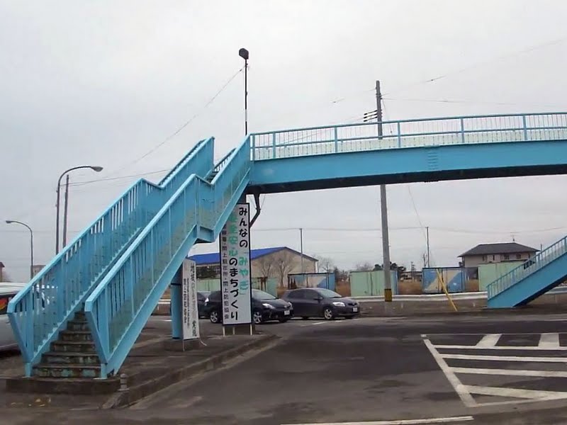 |
| Pedestrian Overpass (the following video was shot from this bridge – the building with the blue roof is where Yuriage Junior High School is located) |
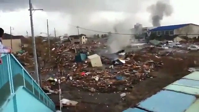 |
| Click image for video |
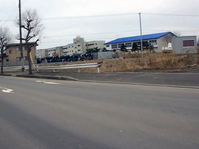 |
| Yuriage Junior High School |
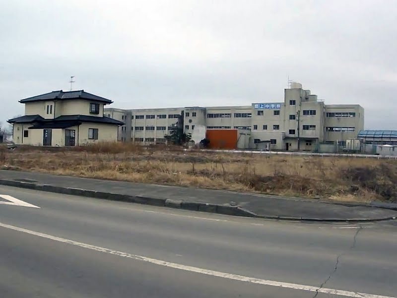 |
| Yuriage Junior High School (the following video was shot from this school) |
 |
| Click image for video |
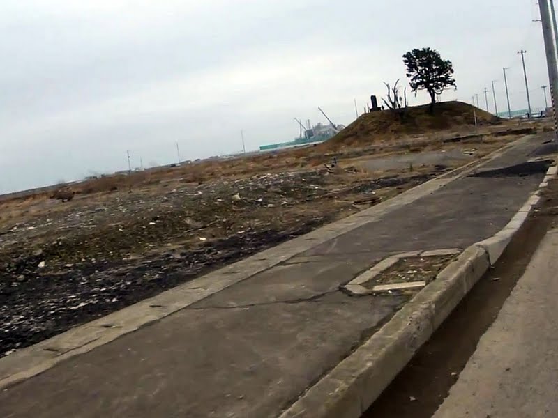 |
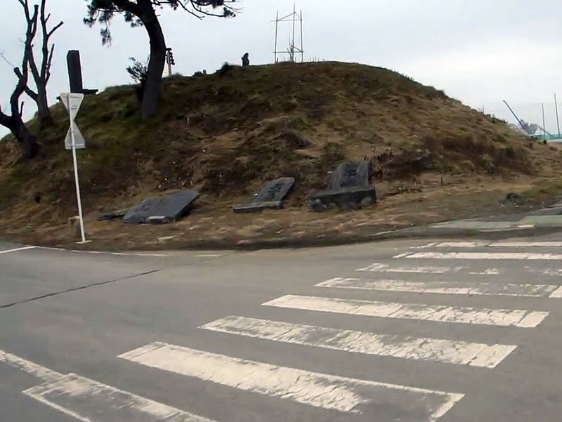
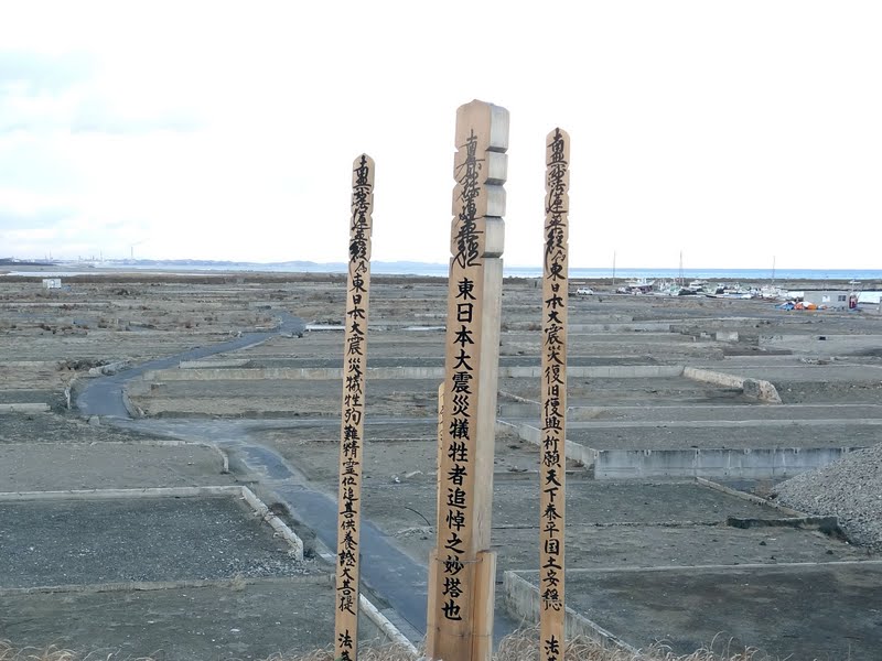
| Hiyoriyama Hill |
 |
|
| Hiyoriyama Hill – this is a man made 6.3 meter (21 feet) high hill where a shrine once existed. The small shrine along with a man who was taking care of it were washed away by the tsunami. A new torii was erected along with some temporary markers to allow people to come here and leave flowers and other offerings for the deceased. |
 |
|
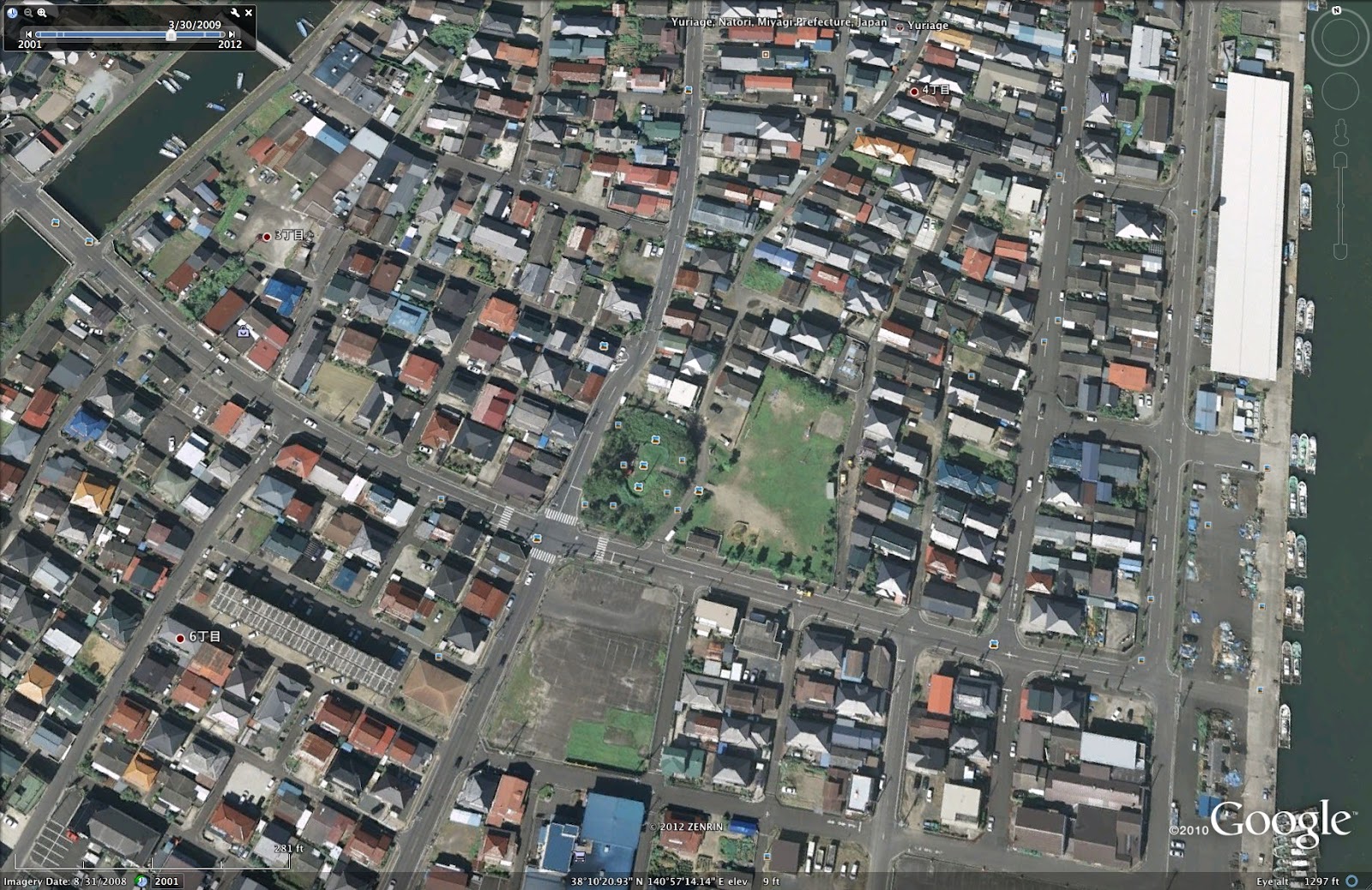
| Satellite view from 2009 of Hiyoriyama-jinja |
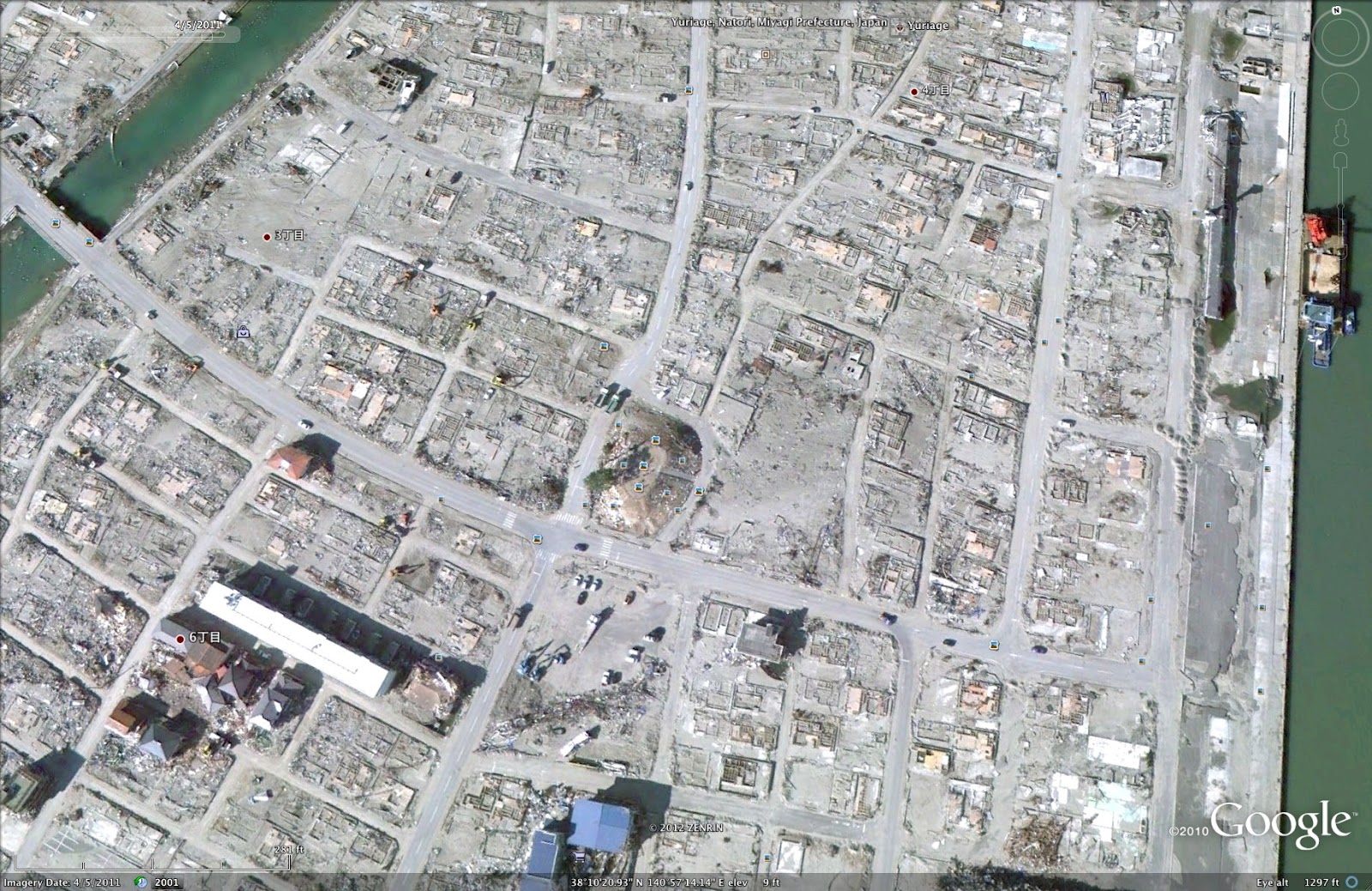 |
| Satellite view from mid-2011 of Hiyoriyama and the surrounding area |
 |
| The 360 degree view from the top of the mound is literally the same – bare land where houses once stood. |
The loose debris has been mostly cleared and piled into mounds, waiting to be disposed of.
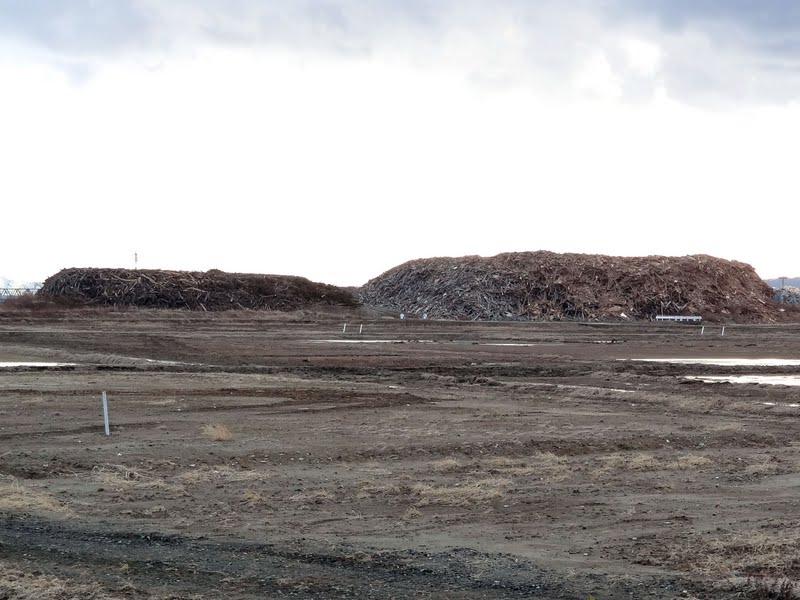 |
| Pile of debris |
Residents of nearby Natori City which Yuriage is a part of, want to revive the area. The proposed plan is to rebuild in the same area, but on top of man made raised ground (sort of like the hill across from Hiyoriyama but much higher). If anything, it is going to be costly to do in order to make them resistant to quakes as well as tsunami.
Video of the area surrounding Hiyoriyama from the top which shows just how very little remains after one year.
To bring the above into some sort of context, the following satellite view pinpoints where they are located:
 |
 |