
UPDATE (April 6): Flood watch from April 8th (morning) through 10th (afternoon) HST with the bulk of the impacts on the 9th and 10th
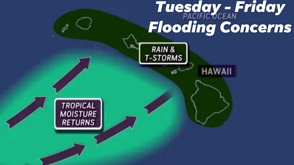
Computer forecasting models show another potential round of rainy Kona low weather that could be affecting the state of Hawai’i this week beginning on the 7th HST. This would be on top of the last two Kona low storms which drenched the islands 2-3 weeks ago (causing major flooding in several areas).
While parts of the state have been drying out since, there are still other areas where the ground remains saturated. Additionally, the areas that have been hardest hit are only just beginning to clean up from the March 20th flooding.
Both the city and state have been urgently trying to clear streams of existing debris for several weeks now (more so once the initial alerts about potential impacts was announced last week).
On the Big Island, Kilauea episode 44 (lava fountaining eruption) is expected to resume (either Monday or Tuesday). Forecasters are hoping the eruption happens before the winds from this Kona system turn southerly since that would bring tephra, sulphuric fumes/vog, and pele’s hair falling over more populated areas north of Kilauea including Hilo.
I probably will not be streaming that episode once it begins since I’ve been involved with volunteer efforts (again, mainly the Hawai’i Food Bank) and some ongoing personal stuff. Besides this blog, I’m barely online and this will likely be the case for a bit. Hopefully this next system isn’t bad.